Home » News » OMM Mountain Skills Day
Mountain Run have been holding courses for Mountain Marathon Skills all year & last saturdays courses showed the end to the MM Skills season for us, concentrating Saturday on the up & coming OMM at the end of October in the Cheviots.
The OMM was the hardest MM of the year & is arguably still the main contender, the only one coming close is the all new Marmot Dark Mountains, put on by Ourea Events, the 1st one in 2012 planned by Charlie at Mountain Run. Being the only MM to have an elite field running 26 miles per day, back to back makes it a pretty unique event to top.
Because of the time of the year the OMM is typically wet, windy & a very long night at the midway camp, because the clocks change from BST to GMT. This can mean a long & cold 13 hours in your tent, literally for some teams, waiting for the morning to arrive. We've been there & done that! The Cheviots hold some really special running, or should we say, slogging. There are good tracks, but there are also bog, peat hags, heather & mud & plenty of it at times. The terrain is tough, the weather can be very harsh & if an easterly wind blows in of the North Sea it can be literally freezing. Weather conditions can make the event even tougher!.
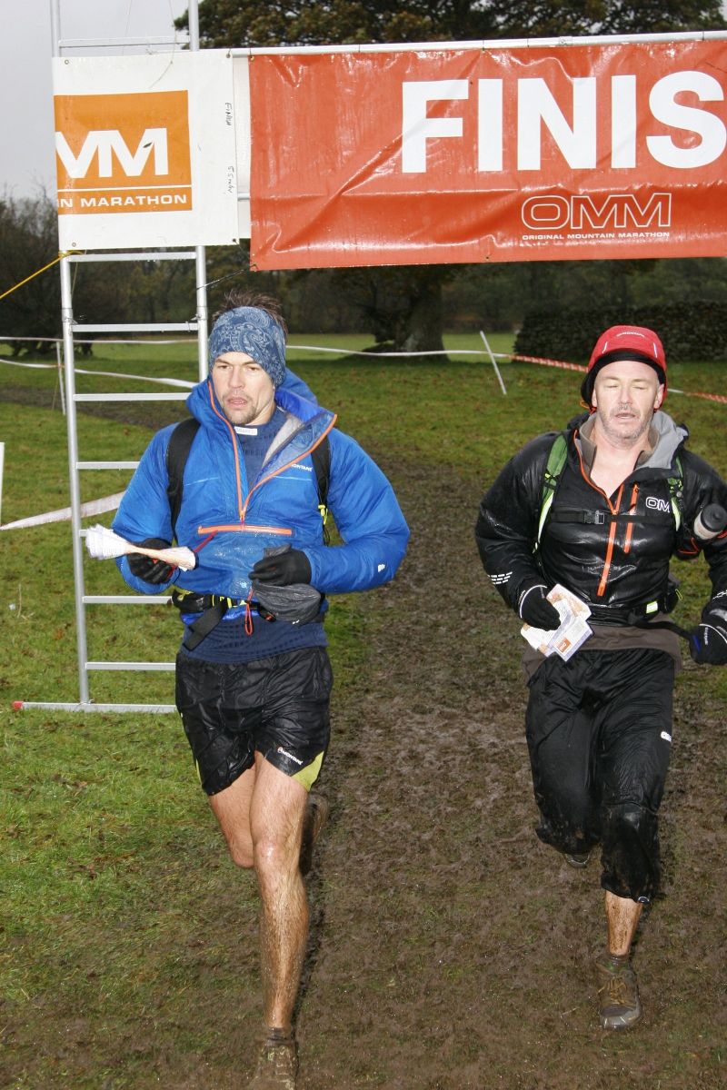
Charlie & Rich Evans complete the 2012 Howgills Elite Course on the OMM - 17th place
Last saturday's course was aimed specifically at the OMM, working through basic to intermediate navigation skills, that are necessary for all MM events, but we also discuss clothing, equipment & nutrition.
We worked though the following:
1.Maps – Brief overview
2.Map Reading – Contours/Features/Slopes & Terrain
3.Map Orientation – How to set the map
4.Setting a Bearing– How to set a bearing
5.Safe Navigation – Techniques for all conditions
6.Tactics
7.Timing & Pacing
8.Equipment
9.Food & Hydration
10.Q & A
It's a lot to work through in 9 hours, but we gear the courses to be flexible & split groups into like minded & experience, so novice with novice & those more at the intermediate level.
For Saturday's course we had Charlie (Mountain Run itself) & David White, a navigation/mountain skills trainer who has a great wealth of knowledge behind him. (Fell Race wins, 11 years of MM eventing & a 7th place in 2012 at the Montane UTLD 100).
OMM supplied us with some maps from 2005, the last KIMM (Karrimor International Mountain Marathon), before the event became the Original Mountain Marathon.
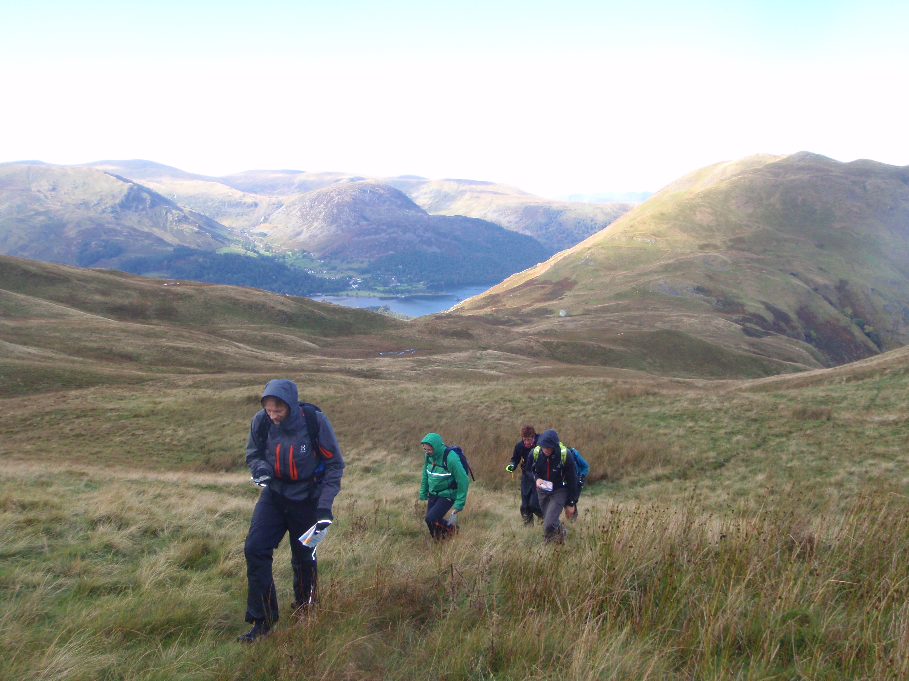
We used the Glenridding Village Hall as our base & after 2.5 hours of mind bending theory we had some food & headed out, up Boardale Hause & on to Angle Tarn Pikes & the side of Place Fell.
The weather was kind to us, after the overnight rain & we were treated to clear views, and only 1 short shower blowing in from the Helvellyn Massif.
5 lucky participants on Saturday's OMM Mountain Skills Course based in the Eastern Fells of the Lakes
After 4 hours on the fell, we returned back to base & discussed clothing & equipment, plus some nutritional based discussion.
The day was long, but everyone left with plenty of knowledge to tackle, for some, their first MM event & big beaming smiles from a good few hours in the English Lake District Eastern Fells.
More courses coming soon for:
UltraTrail Navigation - geared towards the UTLD 100 & 50
Nordic Walking Navigation - For Nordic Walking Instructors
The Spine - Navigation, Mountain Skills & how to survive the Pennine Way.
Marmot Dark Mountains Nighttime Navigation - Become comfortable at navigating at night.
Last month I had another interview with Ian Corless from Talk Ultra, this is the follow up article to support that interview.
This years RMM was held on the South/Eastern Fells of Cumbria. We used the Shap Fells, south of the summit, including Bannisdale, High Borrowdale & Longsleddale, it stretched out to the west, taking in Kentmere & the eastern side of Troutbeck. We reached as north as the shores of Hawes Water & as south as Potter Fell, using the filet of land in between Kentmere & Long Sleddale (Skeggles Water, Brunt Knott, Gurnal Dubs & Potter Fell). There was quite bit of new land, in amongst land that has been used before.


